Gaasterland
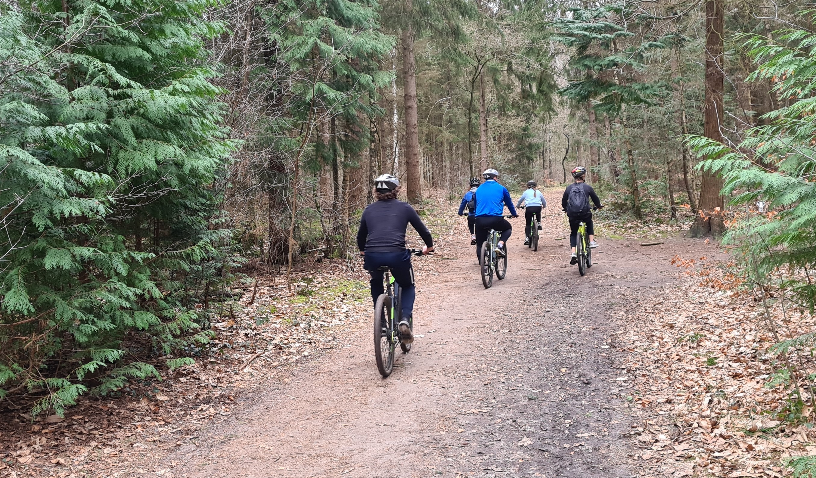
Gaasterland is located in National Landscape Southwest Fryslân and has a varied environment with forests, meadows and the beaches along the IJsselmeer coast. Visit the kitesurfers on the Mirnser cliff, enjoy on the terrace in the center of Oudemirdum and explore the forests of Gaasterland on foot or by bike. There are also several routes for Mountain bikers and horseback riding.
Gaasterland is a region in the southwest corner in the Dutch province of Friesland. The former municipalities of Gaasterland-Sloten and Nijefurd are part of Gaasterland. The region, unlike the predominantly flat meadow character of Friesland, is actually rolling and wooded. Because of the sand drifts here and elsewhere in the Netherlands, Staatsbosbeheer planted the area with forest around 1900. The boulder clay ridges were a natural sea wall against the waters of the Zuiderzee and still are today for the IJsselmeer. One of them is the Mirnser Klif (Murnser Klif).
The highest point in Gaasterland is 12.70 meters above NAP southwest of Oudemirdum at the edge of the Jolderen forest. Here stands air watch tower 6H3 - Oudemirdum. It was built in 1953, during the Cold War, to observe enemy aircraft flying under the radar range. From the tower one has a wide view over land and sea. In the Rijsterbos (Ryster forest), owned by the It Fryske Gea, a stone remnant of the funnel beaker culture has been found. Some places in the area are: Oudemirdum, Rijs, Sondel, Balk and Bakhuizen.
(source wikipedia)