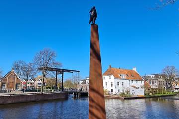
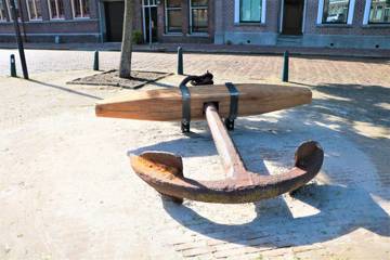
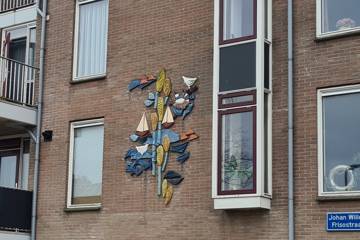
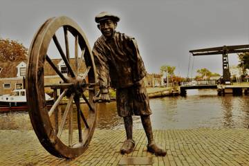
This route forms the sailing route of a number of art routes that have been mapped out along public art objects in the town of Sneek and the municipality of Súdwest Fryslân. There are a walking route, 2 bicycle routes and a sailing route. By the term 'art route' we mean a route, mapped out for the public, or a route along existing art objects and/or art historical objects in the public space. The routes can also be downloaded & printed (pdf file).
This sailing route is ± 25 kilometers long. The route takes you among others past IJlst, the slûpfeart, which runs along the A7 from Sneek and to the beginning of the Sneekermeer. You can always take a different starting point, or shorten the route yourself. You follow the points on the map. When you get to the right point, you can click online on the point on the map for more information and explanation of the art object in question.